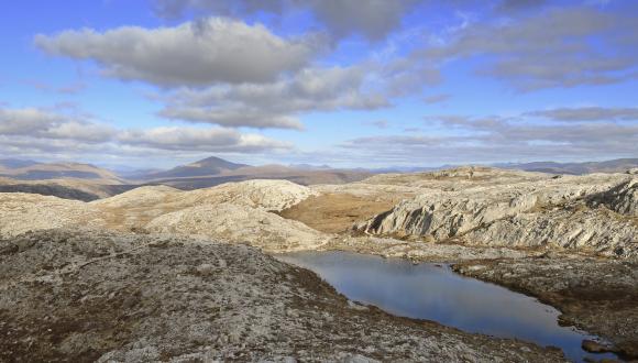
Nature Networks - Tools and Data
The use of spatial data and tools is essential in helping to identify, plan and deliver Nature Networks. As Nature Networks become established, data will also play a vital role in monitoring and reporting.
The nature network framework outlines the following delivery principles for data, mapping and monitoring;
-
We will be adaptive in our approach to delivering Nature Networks and use the opportunity to improve our understanding of developing effective ecological connectivity.
-
Monitoring approaches for Nature Networks will be developed with, and for, stakeholders to inform management and action that maximises effectiveness of the network.
-
We will employ innovation and best practice in data collection, management and use.
-
Mapping and use of data will be collaborative and holistic in approach.
This section cannot give definitive answers on which tools to use or how to use available data, nor does it provide an exhaustive list of available tools and data. However, it does provide a summary of what we think are important, useful and relevant tools and data that can be used in a variety of landscapes.
It will continue to be updated with tools and data as they become available.
Decision-support tools including opportunity-mapping tools
Decision-support, including geospatial and opportunity mapping tools, often work by bringing together a range of different datasets such as habitat maps and species data, and other land use data, and present the information in such a way to support the user in making land use decisions.
In addition to presenting existing information, they often involve the production of new datasets through applying spatial models to these existing datasets. This approach can provide additional information and highlight opportunities that would not have been identified before.
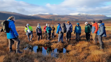
Tools can support users to consider various influencing factors in identifying nature networks and wider land use decisions, as well as provide suggested opportunities for creation, restoration, and/or enhancement maximising benefits for nature and people. The use of tools can be particularly helpful in the planning and stakeholder engagement stages of delivering Nature Networks or projects that contribute to Nature Networks.
When using decision-support tools, there are a number of considerations;
- Data quality, quantity and extent - The models and tools, and the data they produce, are only as good as the information upon which they are built.
- Caveats, assumptions and limitations – The models and methodologies within the tools will be simplifications of complex ecological processes. Models are not perfect (and they are not meant to be) so it’s important to understand the caveats, limitations and assumptions of them, so you can make the most informed decision using them.
- Scale and place – to ensure Nature Networks consider national, regional and local priorities, it’s advisable to have both national and local datasets feeding in. It is important to understand data at a range of scales and to acknowledge that national coverage does not necessarily mean poor local scale resolution, and conversely resolution at a local level may not be adequate to base decisions on.
- Ground truthing and local knowledge – with any tool we would strongly recommend ground truthing, particularly before undertaking any of the suggested opportunities, and using the outputs alongside local knowledge of the area.
Signposted below are a number of decision support and opportunity mapping tools available that can assist in the various stages of Nature Networks.
Please note that while it was identified in the co-design process for the Nature Network Framework, that using decision support and opportunity mapping tools would be useful and expected to help many different groups in developing Nature Networks, use of a tool is not mandatory. If deemed useful however, it is recommended that you look into each to see which is most suitable for your needs.
As well as the above considerations, it is whether using the following prompting questions when exploring and selecting a tool;
- What are you looking for the tool to do? Different tools will do different things, some helping to map whole Nature Networks, others more suited to individual project planning. Make sure your needs align with what the tool can deliver.
- What data is already used within the tool and what additional data may you want to bring in? Does the tool allow you to do that or is this something to consider within your wider project?
- Does the tool use data that requires licences, and therefore the use of any outputs require the user to also obtain the licence?
- What level of digital or technical expertise is needed to use the tool?
- With Nature Networks being all about improving connectivity across landscapes and regions, consider what tools, if any, neighbouring local authorities or others are using.
- Do you have a budget that can help cover the cost of pay-to-use tools?
Also, remember that these tools are designed to be supportive in decision-making, not do the deciding for you. Please explore the rest of the Nature Network toolbox for support and guidance on other elements that feed into the decision-making of designing and delivery of Nature Networks such as meaningful engagement and financing
EcoUplift
NatureScot and Scottish Wildlife Trust are working with AECOM, through a CivTech Challenge, to add functionality to their Natural Capital Tool to support the development of Nature Networks. As part of the challenge, a series of open source maps are being produced to help identify areas of connectivity, strategic corridors for nature, and opportunities for enhancement and restoration. Alongside the maps, the wider tool allows users to calculate biodiversity and natural capital accounts as well as plan, review and compare future land use scenarios. Read our progress updates.
Landscape Scale Natural Capital Tool
NatureScot are leading on the development of an innovative new decision support tool for Scotland. The tool is being developed in partnership with Liverpool John Moores University and it will allow decision makers to spatially map and measure the benefits that nature provides in the landscape, as well as identify areas in need of more benefits, and places to improve ecological connectivity. This approach allows for the identification of opportunities in the landscape that can help prioritise actions and optimise benefits for both people and nature. The tool will be a free to use web application to provide a standardised approach that will allow anyone in Scotland to realise the best use of their land so that they can maximise environmental and socio-economic benefits. Updates can be found on the Landscape Scale Natural Capital Tool webpage.
CSGN Habitat Connectivity Index map
The CSGN 2021 Habitat Connectivity tool consists of two resources.
-
Opportunity maps identify areas of habitat across central Scotland which could be protected and improved, and key sites for connecting these habitats so that species can move between them as part of a Nature Network.
-
The Connectivity Index is a measure of functional connectivity that allows an assessment of current habitat connectivity to be made. When repeated (Future date, TBC) any change in connectivity will be reflected in the index value. This will allow local authorities to measure improvements in habitat connectivity as the Nature Network is developed.
The maps cover the Central Scotland Green Network area, but a Connectivity Index for the whole of Scotland is planned.
Other supporting and upcoming tools
A toolkit including a mapping tool and apps, to engage young people in their nursery, school, college or university grounds, increasing their knowledge of species and developing important skills, such as biodiversity mapping, data collection and analysis.
Farm Biodiversity Scotland App
This free to use app, owned by NatureScot, has been designed to help farmers and crofters carry out biodiversity audits so they can identify and map the habitats on their farms and carry out a simple condition assessment. This will help identify areas of habitat which may form part of a Nature Network.
The Young Placechangers toolkit aims to inspire young people to take the lead in their local community by learning new skills about how to evaluate places, map their community and influence local decision making.
Data sources
Spatial mapping of a Nature Network will be underpinned by data, much of which is free to access. Protected areas, habitat and species data is available at local, regional and national level. When mapping Nature Networks local authorities should access data which is appropriate to them. Data is also available on a range of other features including existing green networks, access data, and human population data. Many organisations hold data, however the following sites act as the main repositories for publicly held data layers.
This website brings together environmental information and data in one place so that is easy to search, discover, analyse and interpret.
Provides access to view and download all of our publicly available data, which can be used under an Open Government Licence. This is the definitive source for Scotland's Protected Areas, consultation areas, habitats and species, and more.
Scotland’s catalogue of spatial data. Here you can find, share and reuse spatial data provided by Scottish public sector organisations.
Association of Local Environmental Records Centres (ALERC)
Organisations which have been established, usually through a partnership of interested parties, in order to bring together local information on wildlife and to supply this to local users.
National Biodiversity Network (NBN) Atlas
The NBN Atlas is the UK’s largest repository of publicly available biodiversity data.
Scottish Forestry open data hub
A wide variety of geospatial data that can be used in Geographic Information Systems (GIS) including data on surveys and inventories, eligibility layers and the native woodland survey of Scotland.
Forest Research Habitat Networks
Forest Research has mapped a series of habitat networks which will be used to plan habitat and species protection, management, restoration and expansion at a landscape scale, with respect to other biodiversity interests.
A continually updating range of datasets related to the environment including data such as the Scotland Wetland inventory, river catchments, drought data and flood maps.
Working together to build a useful toolbox
If you know of other tools or data sources that you believe should be featured here, please let us know via this online form.
If you know of other tools or data sources that you believe should be featured here, please let us know via this online form.
Last updated: